|
Berne has a lot to offer of bike trails
winding through the landscape. Here the trail is running parallel to
the light rail track: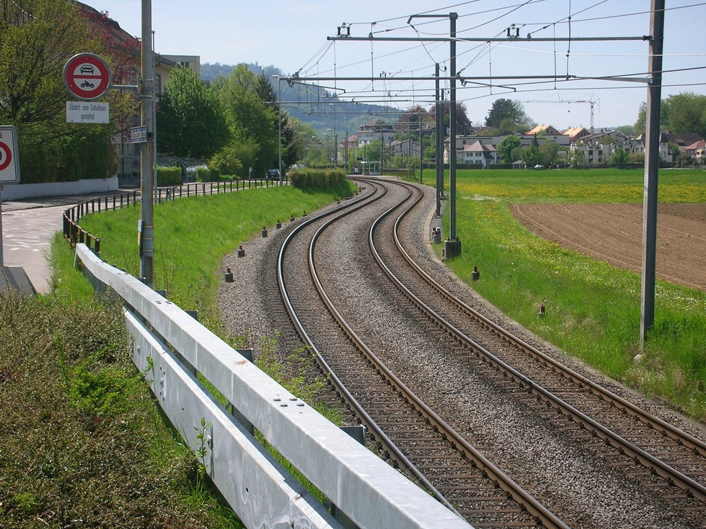
The bike trail is winding through sleepy dead end streets where
there is no automobile traffic (or nearly so)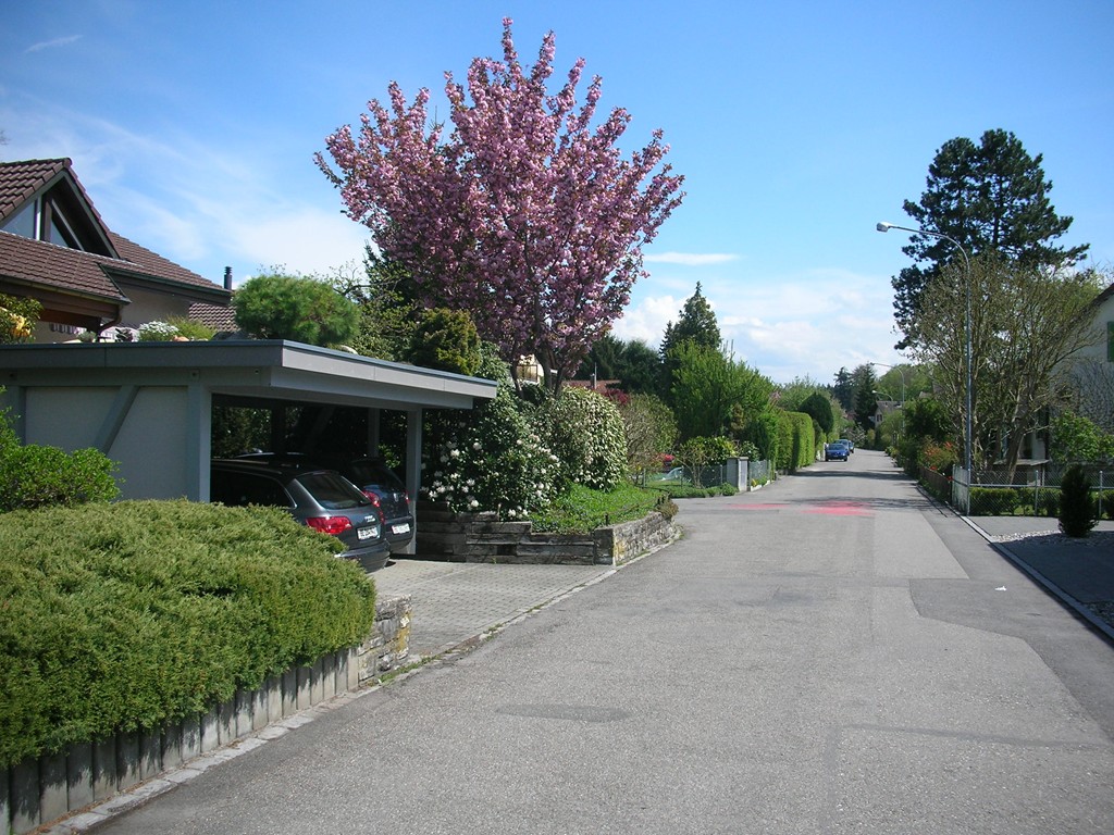
Sometimes, however, even on the bike trail, one encounters the
inevitable infrastructure construction work (note the software house
in the background maybe getting a new fiber-optic connection??):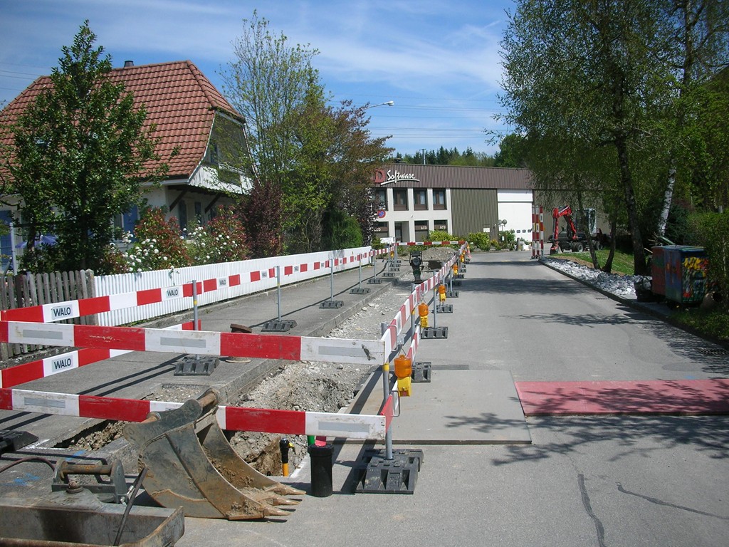
The bike trail continues through the conifer woodlands: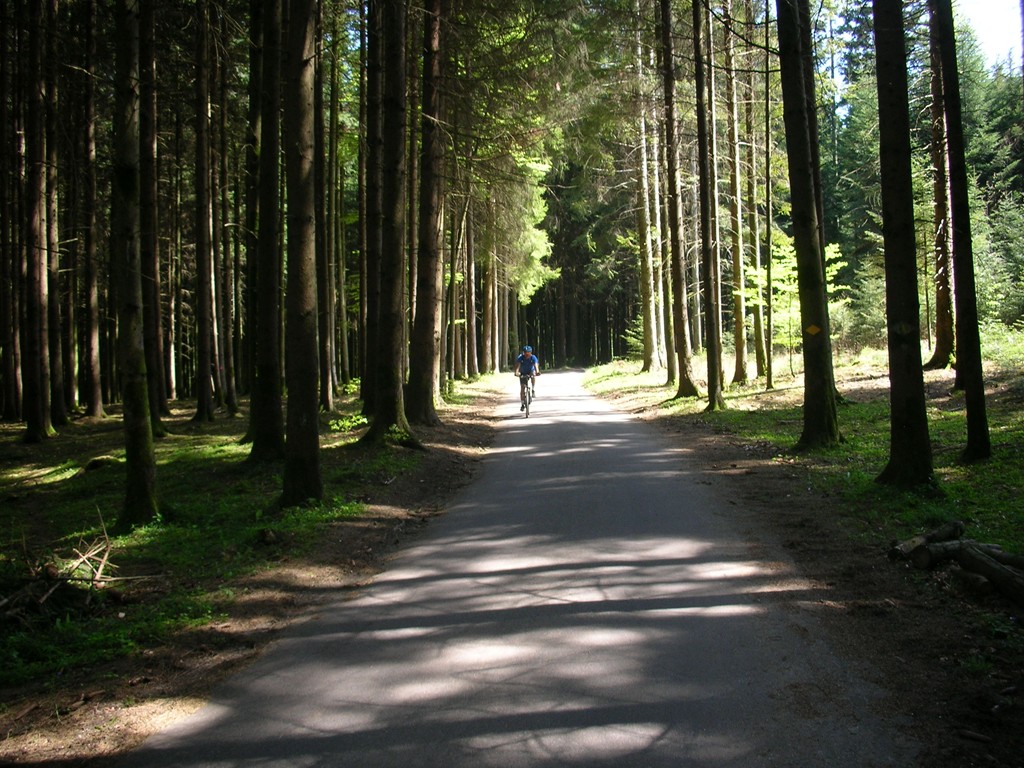
And along the mustard fields towards the Berner Oberland: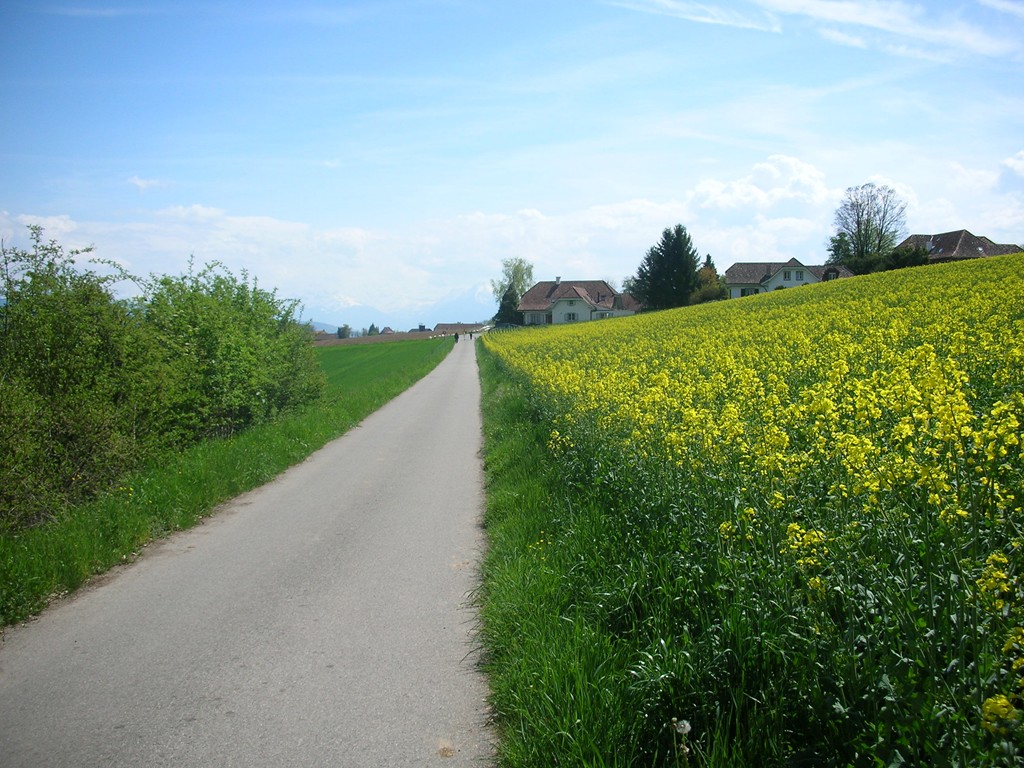
The biker himself on the trail trying out the timed exposure function of the
babyNikon: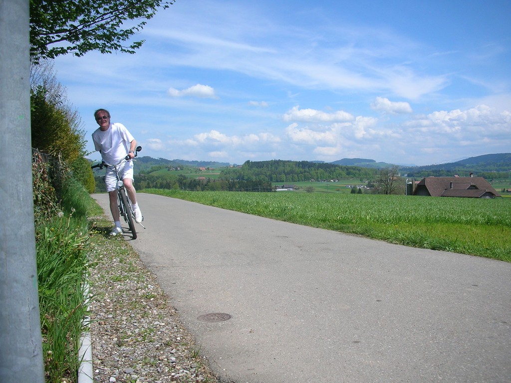
The white sheepli is integrated--no question about that!: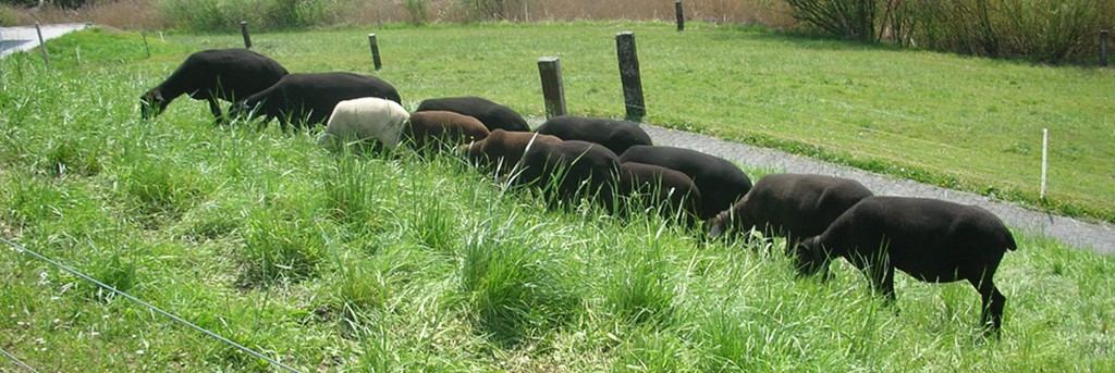
And here is where the poulets are farmed (we'd love to show you
all the other animals we encountered on the bike ride but space is
only so much):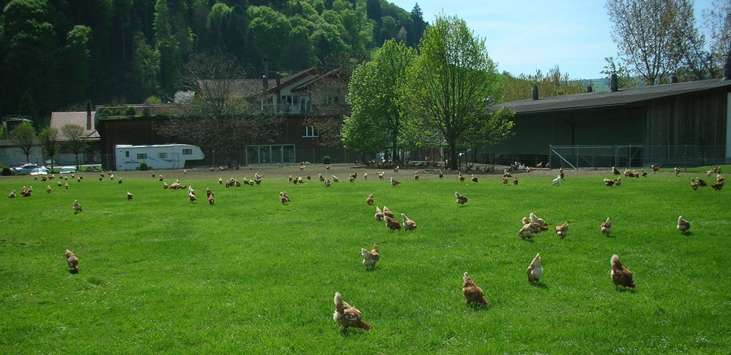
And this is just before the bike trail crosses final approach
to Runway 32 at Bern International airport: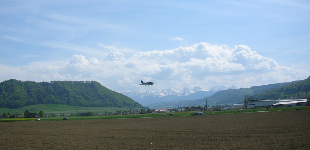
View of the localizer RWY 14 (the jet airplane just landed
is taxiing from the far end of RWY 32):
Glider pilots still have the privilege to land at Berne
International, thank you BAZL and SkyGuide! (the ugly concertina wire
strung along the perimeter is more symbolic than a barrier to determined
intruders -- so what is the logic here?):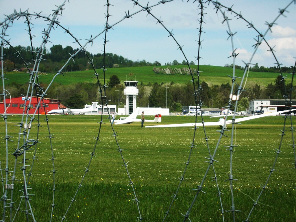
The bike trail, after the airport, crosses the Aare river over
the Aubrugg, a wonderful truss bridge design that lifts every real
engineer's heart: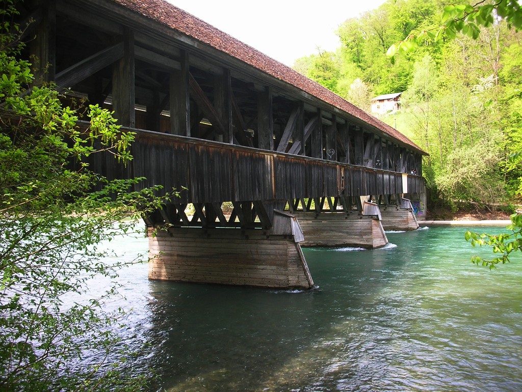
At this location the bike trail gets really interesting (but
this is only a very short stretch): :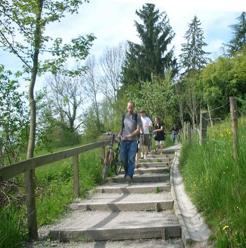 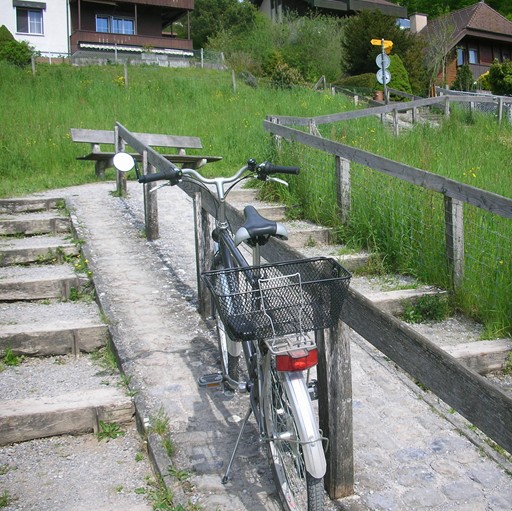
|